
30 December 2020
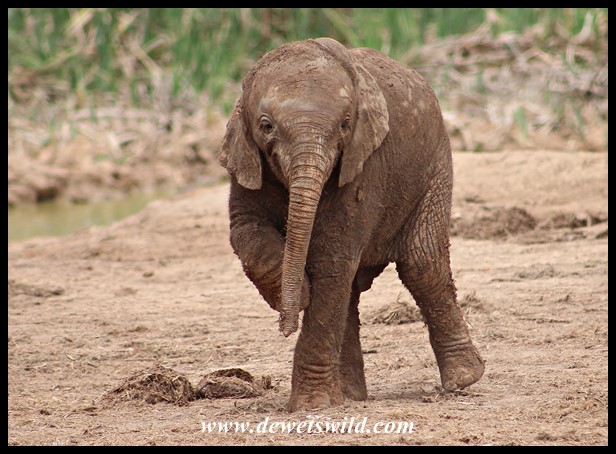
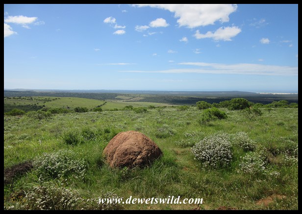
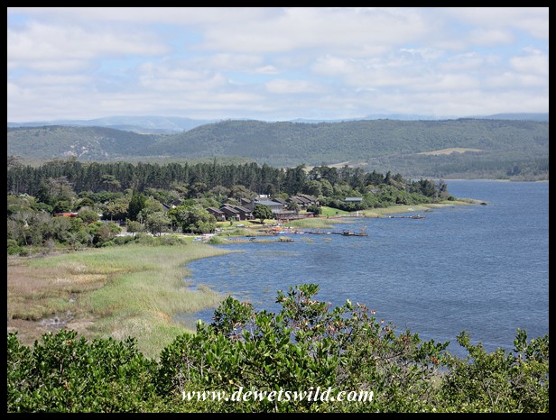
Today was our last day in the Addo Elephant National Park, and that meant it was also the last day we had to enjoy with Joubert’s maternal grandparents and we all felt a little melancholy. It was a very windy day and most of the animals were hiding away from the gusts, so we decided to do an extended morning drive to the Ngulube and Harvey’s loop in the southern section of the Park, again taking a break at Jack’s Picnic Spot, and then spend the afternoon hours together in camp.
")
")
")
")
")
")
")
")
")
")
")
")
")
")
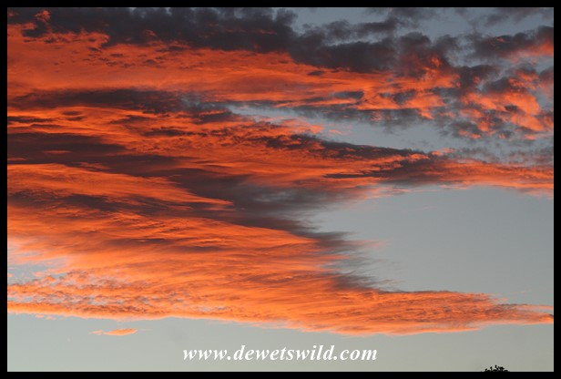
We enjoyed a wonderful final sunset over Addo, the clouds glowing red in the last rays of sunshine coming over the horizon. This is Joubert’s photo. The next morning there would be sad goodbyes as we left for Mountain Zebra National Park while Marilize’s parents returned home to Jeffreys Bay.

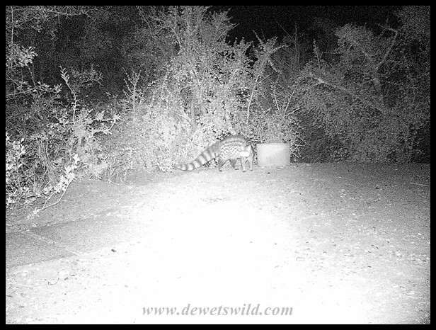
While we were enjoying our meal on the stoep that evening this Small-spotted Genet, picked up by our small camera trap, was (unsuccessfully) looking for leftovers of our braai (barbeque) just outside the little circle of light around our chalet.
If you’d like to learn more about the Addo Elephant National Park’s history and all it has to offer visitors, why not have a read through this post we compiled after our previous visit? And to follow along on our travels through Addo, you might find this map (from the SANParks website) most handy.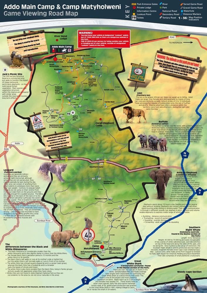 Addo map from https://www.sanparks.org/parks/addo/tourism/map.php
")
")
")
")
")
")
")
")
")
")
")
")
")
")
")
")
")
")
")
")
")
")
")
")
")
")
")
")
")
")
")
")
")
")
")

")
")
")

")
")
")
")
")
")
")
")
")
")
")
")
")
")
")
")
")
")
")
")
")
")
")
")
")
")
")
")
")
")
")
")
")
")
")
")
")
")
")
")
")
")
")
")
")
")
")
")
")
")
")
")
")
")
")
")
")
")
")

")
")
")
")
")
")
")
")
")
")


")
")
")
")
")
")
")
")
")
")
")
")
")
")
")
")
")
")
")
")
")
")
")
")
")
")
")
")
")
")
")
")
")
")
")
")
")
")
")
")
")
")
")
")
")
")
")
")
")
")
")
")
")

")
")
")
")
")
")
")
")
")
")
")
")
")
")
")
")
")
")
")
")
")
")
")
")
")
")
")
")
")
")
")
")
")
")
")
")
")
")
")
")
")
")

")
")
")
")
")
")
")
")
")
")
")
")
")
")
")
")
")
")
")
")
")
")
")
")
")
")
")
")
")
")
")
")
")
")
")
")
")
")
")
")
")
")
")
")
")
")
")
")
")
")
")
")
")
")
")
")
")
")
")
")
")

")
")
")
")
")
")
")
")
")
")
")
")
")


")
")
")
")
")
")
")
")
")
")
")
")
")
")
")
")
")
")
")
")
")
")
")
")
")
")
")
")
")
")
")
")
")
")
")
")
")
")
")
")
")
")
")
")
")
")
")
")
")
