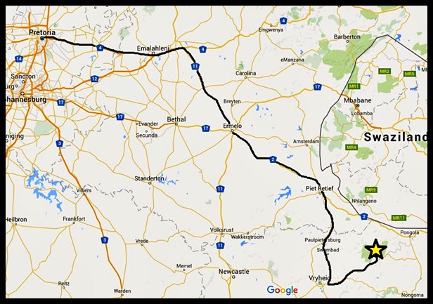
We knew our December 2015 visit to the Kruger National Park was going to test our personal thresholds for high temperatures. It is general knowledge that South Africa’s Lowveld region has sweltering summers, confirmed by the weather forecasts in the week before our departure. On our early morning way, descending into the Lowveld along Schoemanskloof on the N4-highway, we were amazed at how quickly the outside temperature our car was registering was climbing upwards. By the time we arrived at Malelane Gate just after 08:00, we had reached 33°C, with the sun blazing down relentlessly. And yet, we couldn’t think of any place we’d rather be; we were back in South Africa’s flagship National Park, one of our favourite wild places, and we had ten days to explore the length and breadth of it to look forward to!
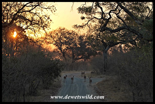
We were heading to Lower Sabie, and instead of following the tar roads via Skukuza we opted for the more direct route, along the gravel S25 and H5, from Malelane. Of course we had wonderful sightings along the way, most especially of some sleepy elephants! Early December is lambing season for the impalas, and each herd we passed had a few new members, all ears and long legs, to broaden our smiles.
")
")
")
")
")
")
By the time we checked in at Lower Sabie Rest Camp for our 3 night stay, the temperature had soared to a searing 43°C. Our cottage (unit 93), with a lovely view of the Sabie River in front of the camp and surrounded by huge, shady trees, provided welcome respite!


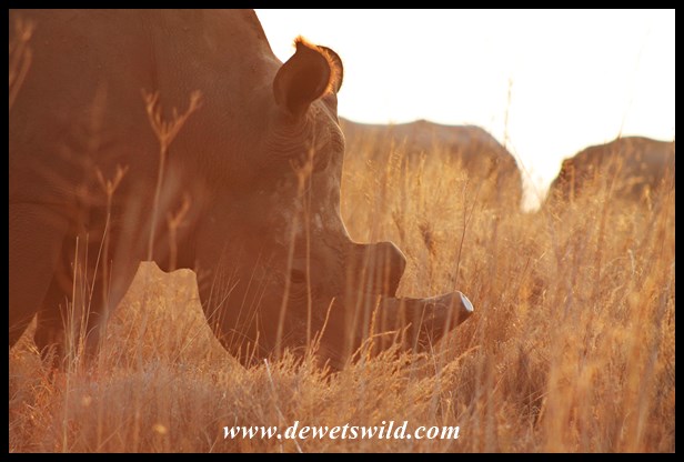
But of course no amount of heat was going to keep us indoors for long when there’s Big-5 country to explore outside! Our afternoon drive took in Gomondwane, Duke’s waterhole and a section of the Nhlowa-road to the south of Lower Sabie, after a quick visit to Sunset Dam just outside camp. Highlights of the drive included an unusually relaxed black rhinoceros, our best sighting ever of a side-striped jackal, and the cutest little warthog piglets you could imagine!
")
")
")
")
")
")
")
")

")
The itinerary planned for Sunday 13 December meant that we would be out of camp all day: a slow early morning drive (the camp gates open at 04:30 in high summer) to Skukuza along the Sabie River, visit with good friends at Skukuza over lunch, and then back to Lower Sabie via the Sand River, the Salitje road, Muntshe Mountain and Mlondozi Picnic Site. Covering that big an area is sure to deliver some unusual sightings; apart from a skittish leopard and all the more commonly seen game animals, we even found an African Rock Python along the way. Our final wildlife encounter of the day was with a pair of mating lions, within sight of Lower Sabie, resulting in sightings of all the Big-5 on a single day!
")
")
")
")
")
")
")
")
")
")
")
")

That wasn’t the end of the day however, as we were booked for a guided night drive after supper. Unfortunately strong winds sent the nocturnal animals into hiding, and the drive did not yield much more than a Verreaux’s Eagle Owl and enormous scorpion to get excited about.
")
")
We had one more day to explore the Lower Sabie area, and headed for Crocodile Bridge along the Nhlowa Road as soon as the camp’s gates opened. About halfway we met a large pack of hyenas at their den, and after spending some time with them our grumbling tummies told us that it was time to go enjoy our picnic breakfast at Croc Bridge. More great sightings on our way back to Lower Sabie along the Gomondwane Road, including a herd of elephants coming to drink from the Sabie River. We also noticed a male lion lying on the river bank and after slaking their thirst, the elephants started crossing the river. This was the lion’s cue to vacate his spot, and we were thrilled that he chose to head into the bush straight past our vehicle!
")
")
")
")
")
")
")
")
")

")
")
")
")
")
")
")
")
Lower Sabie is a wonderful place to while away the hot midday hours as there’s a constant stream of animals coming to drink from the river and birdlife abounds in the camp grounds!
")
")
")
")
")
There’s no better way to spend your last afternoon at Lower Sabie than slowly driving along the river, and spending some time at Sunset Dam. So that’s exactly what we did!
")
")
")
")
")
")
")
")
")
")
")
")
With that, our final night at Lower Sabie had arrived. Next morning we’d depart for Olifants Rest Camp, further north in the central regions of the Kruger National Park. We’ll share more about our time at Olifants next week, and will dedicate a special post in which we’ll tell you all about Lower Sabie and surrounds in an upcoming edition of de Wets Wild.
________________________
If you enjoy de Wets Wild as much as we enjoy sharing our love for South Africa’s wild places and their denizens with you, please vote for us in the 2015 South African Blog Awards.
We’ve entered the categories for “Best Travel Blog” and “Best Environmental Blog”, and you are allowed to vote for us in both. Clicking on the badge below will bring you to the voting site.

Thank you very much for your support!


")
")
")
")
")
")
")
")
")
")
")
")
")
")
")
")
")
")
")
")
")
")
")
")
")
")
")
")
")
")
")
")
")
")
")
")
")
")
")
")
")
")
")
")
")
")
")
")
")
")
")
")


")
")
")
")
")
")
")
")
")
")
")
")
")
")
")
")
")
")
")
")
")
")
")
")
")
")
")
")
")
")
")
")
")
")
")
")
")
")
")
")
")
")
")
")
")
")

")
")
")
")
")
")
")
")
")
")
")
")
")
")
")
")
")
")
")
")
")
")
")
")
")
")
")
")
")
")
")
")
")
")
")


")
")
")
")
")
")
")
")
")
")
")
")
")
")
")
")
")
")
")


")
")
")
")
")
")
")
")
")
")
")
")
")
")
")
")
")
")
")
")
")
")
")
")
")
")
")
")
")
")
")
")
")
")
")
")
")
")
")
")
")
")
")
")
")
")

")
")
")
")
")
")
")
")
")
")
")
")
")
")
")
")
")

")
")
")
")
")

")
")
")
")
")
")
")
")
")
")
")
")
")
")
")
")
")
")
")
")
")
")
")

")
")
")
")
")
")
")
")
")
")
")
")
")
")
")
")
")