The Bontebok, a colourful antelope endemic to the Western Cape of South Africa, roamed the area between the present towns of Caledon and Mossel Bay in their thousands at the time the Dutch first established their trading post at Table Bay in 1652. Uncontrolled hunting however quickly led to the population crashing, and despite conservation minded farmers’ best efforts only 121 Bontebok remained by 1927. In 1931, the precarious situation of the Bontebok moved the National Parks Board to establish the Bontebok National Park on an area of 722 hectares outside Bredasdorp, with a founding population of just 17 animals. This area however was poorly chosen, and the animals suffered from disease and poor grazing. It was decided to find an alternative location for the Park, and in 1960 the present site on the outskirts of Swellendam was proclaimed as the Bontebok National Park with a population of 61 of its most precious charges that survived the translocation. Covering 3,900 hectares with little prospect of further expansion due to it being surrounded by the town and croplands, the Bontebok National Park is South Africa’s smallest National Park. Here the Bontebok thrived, and when the Park reached its carrying capacity of about 250 Bontebok, animals could be donated and sold for reintroduction to other parts of their historic range. More about the Bontebok in our next post.
")
Bontebok
")
Bontebok
")
Bontebok
The recorded history of the area that today encompasses the Bontebok National Park dates back much further than that though. By the time the Dutch settled in the Cape, this area was already inhabited by the Hessequa, a Khoekhoen tribe, that moved into the area about 2000 years earlier and was very successful farmers with healthy herds of especially cattle and sheep. The Hessequa clans lived in settlements known as “kraals”, under the leadership of “captains” controlled by a powerful chief. Lang Elsie, who lived between 1734 and 1800, was notable for being a female captain and her kraal was located on the banks of the Breede River, near the site now occupied by the Park’s tourist accommodation. Today, the remains of Lang Elsie’s small stone house can be seen a short walk away from the rest camp that carries her name, while efforts are being made to restore the open site where her followers lived in traditional huts made of sedge thatch. The Dutch started trading with the Hessequa in the 1660’s, and as the years progressed more and more European settlers moved into the area, leading to the establishment of Swellendam in 1746. By the end of the 18th century, Western “civilisation” had brought an end to the traditional lifestyle of the Hessequa Khoekhoen. Those that survived waves of disease epidemics were forced into life on farms or on mission stations.
")
Lang Elsies Kraal
")
Lang Elsies Kraal
")
Lang Elsies Kraal
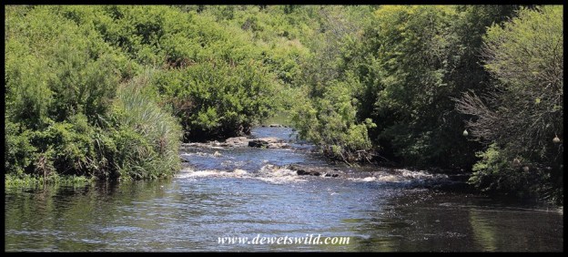
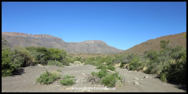
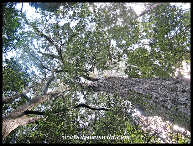
The Bontebok National Park is largely flat, ranging in altitude between 60 and 200m above sea level. In the south, the broad and slow Breede River is a permanent feature. To the north, the Langeberg mountain range lies outside the Park. Most of the Park’s vegetation is classified as fynbos, mostly low growing, with thickets of various tree species lining the river. About 470 indigenous plant species have been recorded in the Park; with most of the surrounding areas being intensively farmed this pocket of natural vegetation is extremely valuable. Unfortunately the alien invasive water hyacinth is proving difficult to eradicate from the river.
")
Langeberg range outside the Park
")
The old Swellendam racecourse is today located inside the Park
")
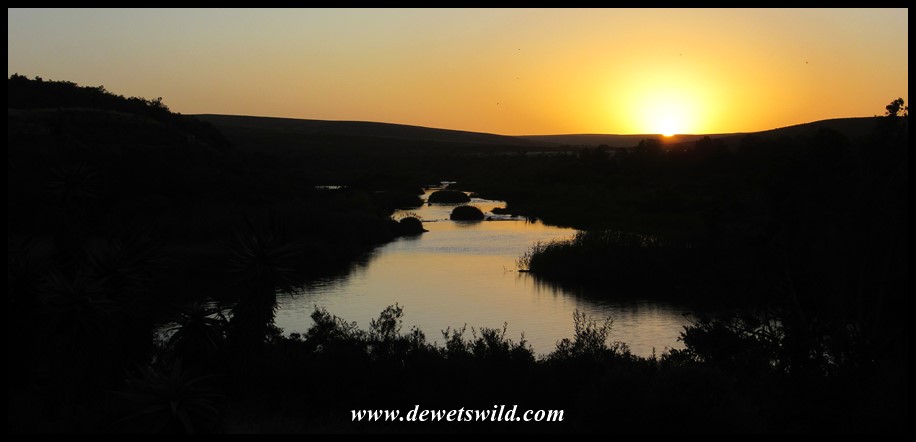
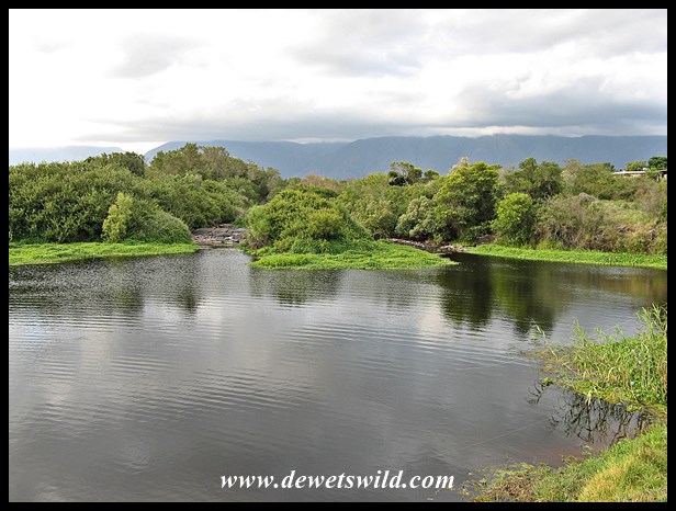
Breede River
")
Breede River
")
Breede River in Bontebok National Park
")
Breede River
")
Aloe Hill Trail
While the Bontebok remains the Park’s star attraction among the 36 kinds of mammals that find refuge here, there’s several other kinds of non-threatening large game animals that may be encountered, and over 200 bird species have been recorded. There’s also 28 kinds of reptiles, but apart from the ubiquitous Angulate Tortoises most are rarely seen. Ten species of amphibians and twelve species of fish (6 of which is exotic) also occur at Bontebok National Park.
")
Sombre Greenbul
")
Grey Rhebok
")
Red Hartebeest
")
Black Harrier
")
Female Southern Black Korhaan
")
Rock Kestrel
")
Cape Grassbird
")
White-throated Swallow
")
Karoo Prinia
")
Greater Striped Swallow
")
Speckled Mousebird
")
Southern Tchagra
")
Watch for those tortoises!
")
Angulate Tortoise
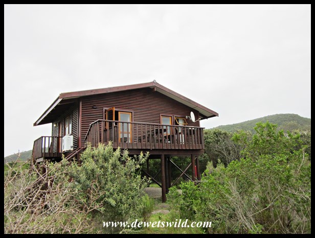
Overnight visitors to Bontebok National Park’s Lang Elsie’s Kraal Rest Camp have the option of camping or staying in one of the 14 comfortable chalets with either 1 or 2 bedrooms. Day visitors are well taken care of at the picnic area at Die Stroom next to the Breede River. Visitors are welcome to walk and cycle through the Park, with several well-marked trails at their disposal, or swim, canoe and fish in the river. There is also a limited network of gravel game-viewing roads, for the most part easily negotiable in a sedan. Shops, restaurants, fuel and other services are available in Swelledam, just a few minutes from the Park’s entrance gate on the N2 highway.
")
Campsite 8, Lang Elsie’s Kraal Rest Camp, Bontebok National Park, December 2017
")
Chalet at Bontebok National Park’s Lang Elsie’s Kraal Rest Camp
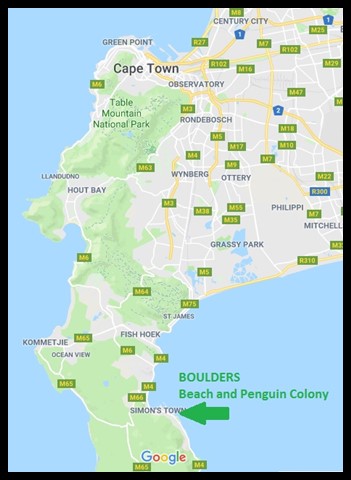
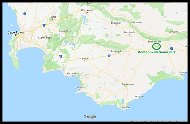
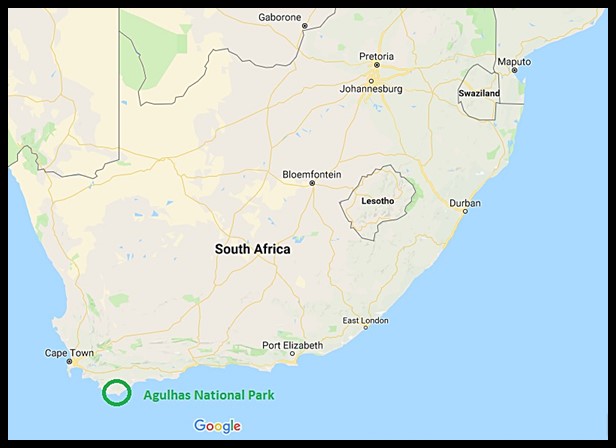
Bontebok National Park is located just outside the town of Swellendam, with the entrance gate less than a kilometre from the N2 highway leading to Cape Town, about 240km away. Bontebok was the fourth destination on our December holiday tour of eight of South Africa’s national parks. Unseasonably wet weather severely curtailed our explorations of this Park during the two days we had available there, so we will just have to return for more!
-34.065676
20.468729

")
")
")
")
")

")


")

")
")
")
")
")
")
")
")
")
")
")
")


")
")
")
")
")
")
")
")
")
")
")
")
")
")
")
")
")
")
")
")
")
")
")
")
")
")
")
")
")
")
")
")
")
")
")
")
")
")
")
")
")
")
")
")
")
")
")
")
")
")
")

")
")
")
")
")
")
")
")
")
")
")
")
")
")
")
")
")
")
")
")
")
")
")
")
")
")
")
")
")
")

")
")
")
")
")
")
")
")
")
")
")
")
")
")
")
")
")
")
")
")
")
")
")
")
")
")
")
")
")