
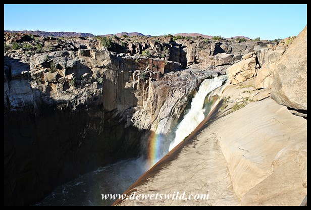
The Orange River, South Africa’s biggest and longest (running 2,200km from its source in Lesotho to its mouth at the Atlantic Ocean) is, for the most part, a lazy, slow-flowing waterway. That changes however when it is forced through a narrow granitic channel in the arid Northern Cape, plunges 56m over the impressive Augrabies Falls and continues through a dramatic gorge for another 18km before again returning to its more placid ways.
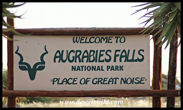
After years of political wrangling, a small 5,400 hectare area around the Falls was proclaimed the Augrabies Falls National Park in August 1966. Subsequently surrounding areas have been incorporated, and today the Park covers over 51,000 hectares.
Visitors can enjoy the best views of the Falls from several vantage points connected by easily negotiated boardwalks.
Consider that these photos taken during our visit in June 2018 saw the river flowing at a below average 38 cubic meters per second, and then imagine what it must look like when a flood of approximately 7,800 cumec, as happened in 1988, thunders down the Falls, to understand exactly why the Khoi named this place “Aukoerebis“, meaning “the place of great noise“!

")
")
")
")
")
")
")
")
")
")
")
")
")
")
")
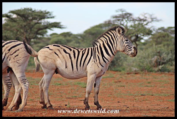
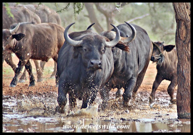
Although the Falls is a worthy focal point of the National Park, there’s still lots more to see further afield when exploring this arid rocky desert landscape (the Park receives only about 120mm of rain annually). Places like Oranjekom, Ararat, Echo Corner and the Moon Rock are well worth the visit for spectacular views and fascinating geology. Quiver Trees and Namaqua Porkbush, both of which we’ll feature in more detail soon, are conspicuous plants and brilliantly adapted to life in this harsh environment. Rocky hills and arid plains where animals and birds abound add to the attraction.
")
")
")
")
")

")
")
")
")

")
")
")
")
")
")
")
")
")
")
")
")
")
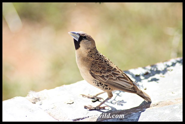
Among the fauna finding protection in the Augrabies Falls National Park counts 49 species of mammal, 181 recorded bird species, around 50 species of reptile, 6 kinds of frog and 12 species of indigenous fish.


")
")
")
")
")
")
")
")
")
")
")
")
")
")
")
")
")
")
")
")
")
")
")
")
")
")
")
")
")
")
Guests can be accommodated overnight in the rest camp’s chalets or the very neat camping area, all within easy walking distance from the Falls (illuminated until 10pm each evening). At the camp there’s four swimming pools (including one for day visitors), a shop, restaurant, fuel station and a little bird-watching hide. The Oranjekom Gorge Cottage is located about 10km from the main camp, and offers privacy and magnificent views over the ravine and river. Provision is also made for day visitors with picnic sites in the camp and along the game viewing loop. Visitors are welcome to explore the Park’s roads in their own vehicle (some roads are only accessible to 4×4 vehicles) or on mountain bikes, and there’s several hiking trails to choose from ranging in length from 2 to 33km (the latter being the Klipspringer Trail which includes two overnight stops). Guided drives (both day and night) in open vehicles can be booked at reception.
")
")
")
")
")
")
")
The Augrabies Falls National Park is in one of the remotest corners of South Africa’s Northern Cape Province; roughly 930km from Pretoria and 870km from Cape Town. The nearest major airport with daily flights is at Upington, about 125km away. We enjoyed a wonderful two-night visit to Augrabies at the end of June 2018, during which all these photos were taken.
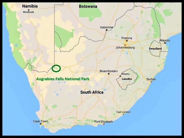
Location of Augrabies Falls National Park

")
")
")


")
")
")
")
")
")
")
")
")
")
")
")
")
")
")
")
")
")
")
")
")
")
")
")
")
")
")
")
")
")
")
")
")
")
")
")
")
")


")
")
")
")
")
")
")
")
")
")
")
")
")
")
")
")
")
")
")
")
")
")


")

")
")
")
")
")
")
")
")
")
")
")
")
")
")
")
")
")
")
")
")
")
")
")
")
")
")
")
")
")
")
")
")
")
")
")
")
")
")
")
")
")
")
")
")
")
")
")
")
")
")
")
")
")
")
")
")
")
")
")
")
")
")
")
")
")
")
")
")
")
")
")
")
")
")
")
")
")
")
")
")
")
")
")
")
")
")
")
")
")
")
")
")
")
")
")
")
")
")
")
")
")

")
")
")
")
")
")
")
")
")
")
")
")
")


")
")
")
")
")
")
")
")
")
")
")
")
")
")
")
")
")
")
")
")
")
")
")
")
")
")
")
")
")
")
")
")
")
")
")
")
")
")
")
")
")
")
")
")
")
")
")
")
")
")
")
")
")
")
")
")
")
")
")
")
")
")
")
")
")
")
")
")
")
")
")
")

")
")
")
")
")
